
In this post
A European collaboration for smarter mobility
According to the European Environment Agency (EEA), public transport modes in Europe emit considerably less CO₂ per passenger-kilometre than private cars.
Public transport is a powerful and efficient tool to improve air quality and reduce pollution, notably by reducing car ownership and congestion. Yet, when people think of innovation in public transport to create a positive impact on air quality, most would often picture electric buses or contactless tickets.
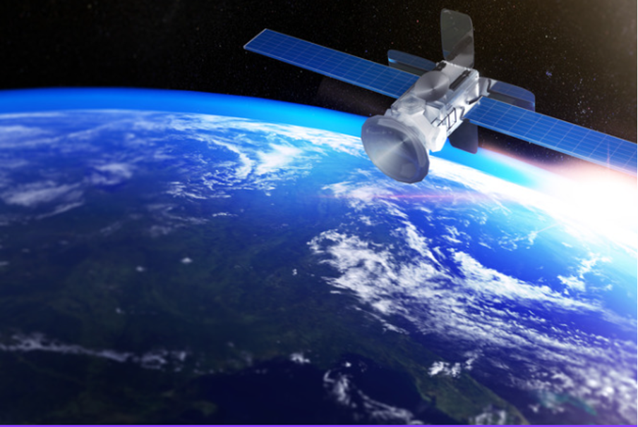
The JULIA project aims to demonstrate how Europe’s space technologies, such as Galileo and Copernicus programmes, can enhance public transport systems by improving efficiency, safety, and environmental sustainability. For this purpose, they act as a bridge between space and street-level innovation to help scientists, researchers and engineers find smarter, better urban applications and positively impact the citizens.

From data to decisions: how Earth observation supports smarter transport
Through Copernicus data and other Earth observation sources such as LandSat - the world's longest running system of satellites for moderate-resolution optical remote sensing for land, coastal areas and shallow waters- JULIA is testing a range of applications that bring environmental awareness closer to people and finally into how public and private transportation companies manage urban mobility.
For example, it monitors:
-
Air Quality and Allergen Forecasts: Integrating Copernicus data with urban sensors to provide live updates and encourage public transport use on high-pollution days.
-
Monitoring Low Emission Zones (LEZs): Using Copernicus historical data to evaluate the effectiveness of emission-reduction measures.
-
Access to Green Areas: Mapping vegetation coverage at 10 m resolution to improve urban planning and mental well-being.
-
Cycling Infrastructure Design: Using topographic data to identify routes with fewer slopes, making cycling safer and more inclusive.
Earthpulse’s role: turning Earth observation into actionable insight
Earthpulse is the Earth observation specialist in the JULIA consortium of partners.
Our role is to demonstrate how Copernicus data can be used in everyday transport operations. We will focus on transforming EO data into insights that support fleet management, climate adaptation, and urban well-being. Within JULIA, we are developing a climate resilience and air-quality tool that translates Copernicus data into recommendations for operators, cyclists, pedestrians, and the wider population.
These insights allow decision-makers to act proactively. They can go from adjusting service frequencies on hot days to benchmarking urban heat islands or identifying pollution-sensitive areas.
Fran Martin, Product Manager at Earthpulse, said:
Our focus is on people, and that's how we see it with JULIA. Earth observation offers valuable strategic intelligence for long-term planning and benchmarking across cities. But we want much more.
We have an opportunity to do something unprecedented: demonstrate the value that EO data can bring in this sector, not only to strategic decision-making for Public Transport Operators, but also by generating a positive impact on people and public transport users, prioritizing their safety and health above all else. Projects like this, where we can demonstrate that geospatial data matters, are the driving force behind innovation.

From orbit to impact
The JULIA project brings together European innovation leaders: Nemi’s Transit Tech Operating System, which manages on demand bus services, and Keita Mobility’s Lane Patrol, an AI service for assessing cycling infrastructure.
By connecting these existing platforms with Galileo and Copernicus data, JULIA is turning scientific capability into market-ready digital tools. For Earthpulse, this collaboration reinforces our mission: to translate complex satellite signals into actionable environmental intelligence.
In JULIA, that means helping Europe’s transport systems adapt to climate change, reduce emissions, and enhance the safety and comfort of everyone who moves through its cities.
Pilots across Europe
The JULIA pilots will run until November 2026.
The goal is to inspire public transport operators to see Earth observation as a decision-support tool, not just for engineers, but for urban planners, communicators, and citizens alike. From real-time alerts (for example, alerting commuters about air quality) to long-term planning (such as evaluating infrastructure or low-emission zones), these pilots are building the foundation for data-driven, climate-aware public transport.
The project comprises of 3 Level Locations. The Level-1 pilots are located in:
-
Catalonian urban and peri-urban areas (Barcelona, Lleida)
-
Greek main metropolitan areas (Haidari – Athens, Thessaloniki)
-
Slovenian urban and peri-urban areas (Domžale – Ljubljana, Ormož, Piran
Level-2 Pilot Locations include more cities and builds on the insights gained from the Level-1 Pilot Locations. JULIA will support this group of cities by providing data-based evidence on environmental urban quality to improve decision-making while pursuing ambitious goals to slash emissions.
Level-3 Locations include other cities, metropolitan areas, or regions across the EU that JULIA will reach out to through an Open Call for small-scale pilots led by ERTICO, which will benefit from the experience and lessons learned in Level-1 and Level-2 Pilots.
About JULIA
JULIA is a Horizon Europe project demonstrating how European space technologies, such as Galileo and Copernicus, can improve the efficiency, safety, and sustainability of public transport. JULIA brings together 13 partners across Europe to co-create and test innovative, data-driven applications for the future of mobility.
By integrating Galileo’s high-precision navigation data with Copernicus Earth observation (EO) analytics, JULIA develops and tests market-ready solutions that support better fleet management, air quality monitoring, infrastructure safety, and climate resilience.
For more information, visit juliaproject.eu
Read the White Paper on EGNSS and Copernicus Technology in Public Transport (August 2024) for deeper insights into the project’s vision.


