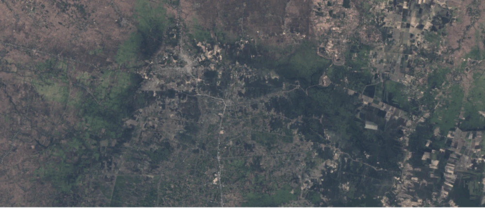
Damage assessment caused by the strong storms that occurred in October 2020 in the Banteay Meanchey province of Cambodia and last April 2021 in the capital of Timor-Leste, at the request of the Asian Development Bank (ADB).
The current decision-making processes rely on expected impacts from models and in situ validations. Slow and costly.
The capabilities of satellite as big source of objective data and the power of artificial intelligence to make easy and quick quantifications over it are key elements to take action when natural disasters happen.
Can we quantify the number of affected households? Where are the disrupted roads? Are the key social infrastructures such as hospitals and schools still accessible? To which extent are crops destroyed? How long is the recovery taking?
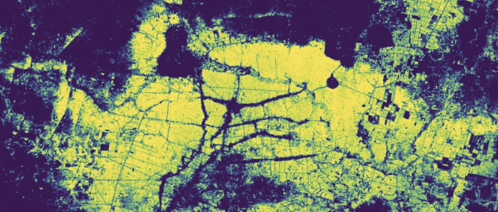
Water extent mapping
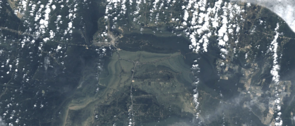
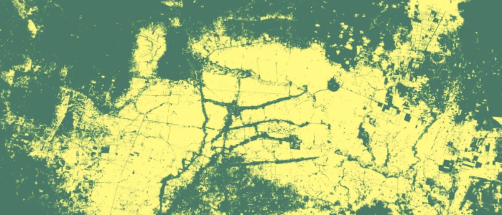
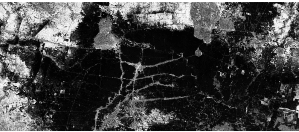
First, the extension of the water was evaluated by generating flood masks, using neural networks over optical and radar satellite images.
Asset mapping
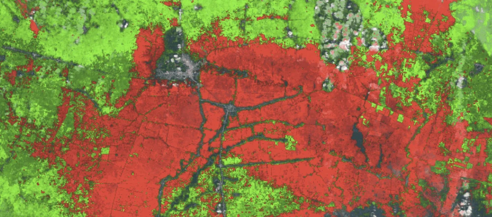
The crop mapping was generated by using our DL algorithms:
Other data such as population data, roads, infrastructures, health center´s location, etc. was gathered from Open Data sources.

Analysis, Impact quantification & evolution
The impact on key assets was then assessed by applying classification and segmentation models, based in our NN models.
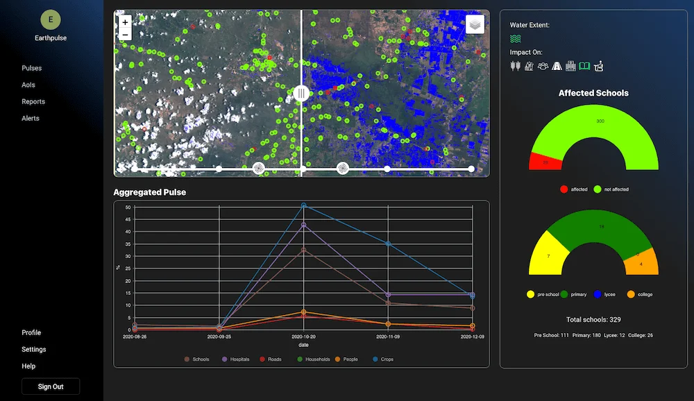
Quantifying destroyed crops, damaged infrastructure such as roads, educational or health centers and affected people is key for impact assessment and also for recovery operations.
Affected crops, Cambodia

Affected schools, Cambodia
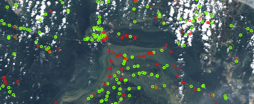

Affected population, Cambodia
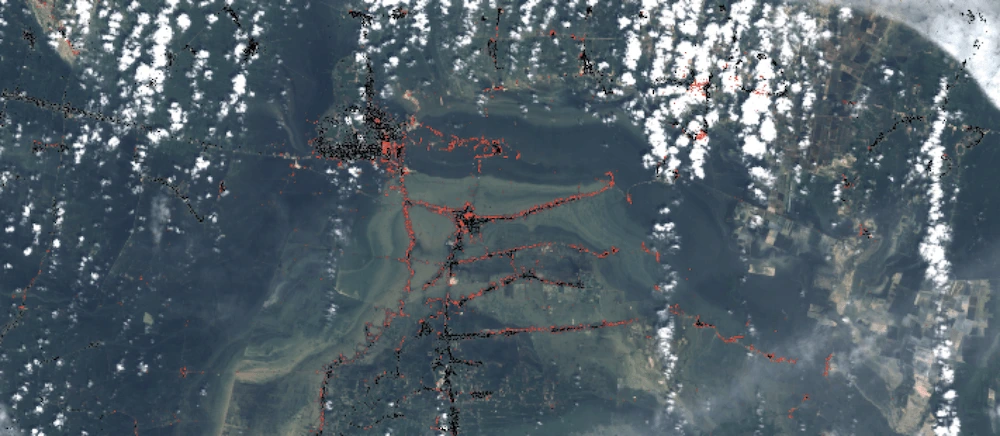

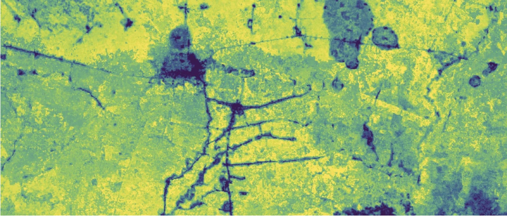
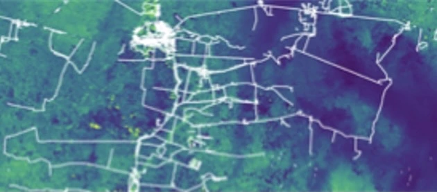
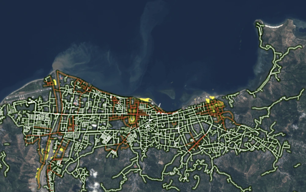
Affected roads, Timor-Leste
Keeping an eye as well to its evolution throughout the following days and months provide us the information regarding the recovery of each particular asset.